Put chart features in your app
Use the public archive to put buoys, lights, wrecks, and soundings on a MapLibre map. Serve the same file from your own storage when you need to.
See how to integratePuget Sound preview
Add inspectable NOAA chart features to your map with a single PMTiles archive. Load it in MapLibre without running your own chart conversion pipeline or tile server.
Experimental chart data. Not for navigation.
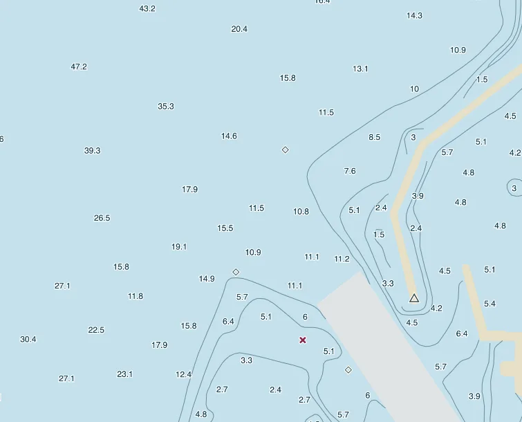
Use the public archive to put buoys, lights, wrecks, and soundings on a MapLibre map. Serve the same file from your own storage when you need to.
See how to integrateSelect a feature and read its recorded attributes, including depth and sounding quality where present. Trace it back to the NOAA source cell.
Explore near ShilsholeBuild a local bundle with the viewer and Puget Sound archive. Once set up, you can inspect features with the connection turned off.
Build an offline bundleFor developers
Read the release manifest for the archive URL, build date, and NOAA cell revisions. Then use the PMTiles protocol to add the vector source in MapLibre.
pmtiles_url against the data service root.WRECKS and use its source_cell to look up the NOAA revision.